How Scan vs. BIM enabled the restart of a Large Industrial Project After
More Than a Decade
Case Study: A U.S. Offshore Platform’s Journey to Full Asset Integrity in Six Days
Executive Summary
Resuming large industrial projects requires an accurate understanding of the asset’s actual construction status. However, after years of inactivity and multiple field modifications, maintaining traceability between the 3D engineering model and what has actually been built becomes a critical challenge for planning the project’s continuation.
This customer case demonstrates how Vidya applied its Digital Reality Match (DRM) solution to identify discrepancies, validate installation status, and establish a reliable foundation for Material Takeoff (MTO) and project restart activities.
The challenge
After more than a decade on hold, the project lacked a clear and reliable view of its actual physical condition. Over the years, structures, piping, equipment, and electrical and instrumentation systems had been partially installed, modified, or left unfinished, significantly reducing traceability between the engineering 3D model and field reality.
As a result, validating the remaining project scope became increasingly difficult, Material Takeoff (MTO) activities were compromised, and uncertainty around project planning increased. A fast and reliable approach was needed to reconcile the digital engineering model with the facility’s actual as-built condition.
The solution: Digital Reality Match by Vidya
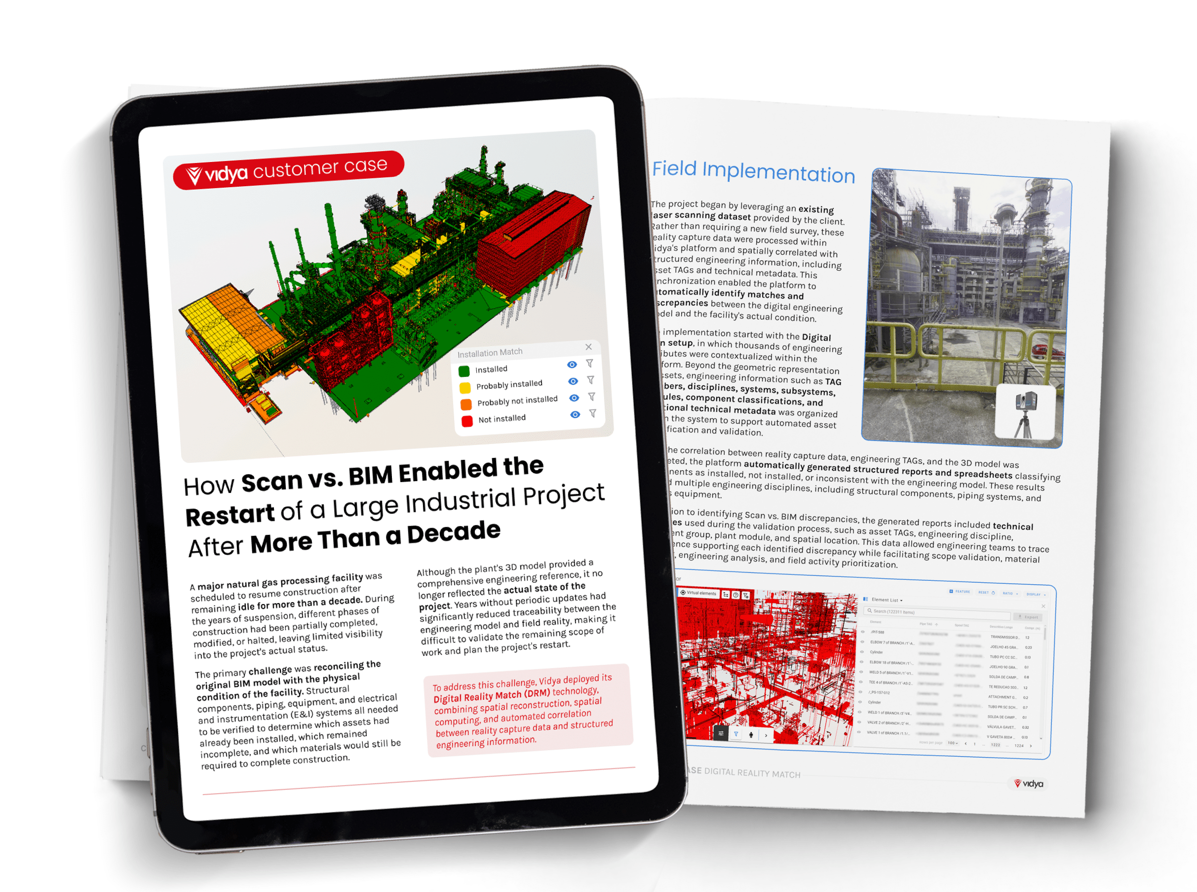
To address this challenge, Vidya deployed its Digital Reality Match (DRM) solution. The platform automatically correlated field reality with the 3D engineering model, contextualizing TAGs and other engineering attributes within a single digital environment.
This enabled engineering teams to identify installed, missing, and divergent components, visualize discrepancies directly within the 3D model, and generate structured reports to support scope validation, Material Takeoff (MTO), and project restart planning.
The output
The solution restored traceability between the engineering design and the facility’s actual condition, providing a reliable foundation for validating discrepancies and consolidating the Material Takeoff (MTO) process.
By bringing together field reality and the 3D engineering model in a single environment, engineering teams gained greater confidence in decision-making, accelerated discrepancy identification, and improved planning for the project’s restart using continuously contextualized, spatially referenced information.